
In order to limit printing and waste production, we invite you to view online or to download the maps and brochures below.
Island Map (English)
Our map is the perfect way to find your way around the Island, with information on attractions, wildlife and heritage hotspots, food and drink and more.
Download
Island Map (French)
Notre carte est le moyen idéal pour vous renseigner sur l'île, avec des informations sur les attractions, la faune et les sites patrimoniaux, la nourriture et les boissons et bien plus encore.
Download
Island Map (German)
Mit unserer Karte finden Sie sich optimal auf der Insel zurecht. Sie enthält Informationen zu Sehenswürdigkeiten, Wildtieren, kulturellen Highlights, Essen und Trinken und mehr.
Download

Our guides

Alderney Walks (French)
Dix promenades autoguidées sur l’île avec des instructions faciles à suivre.
Download
Blue Plaque Trail
Discover some of the most distinguished people who were born or lived in Alderney.
Download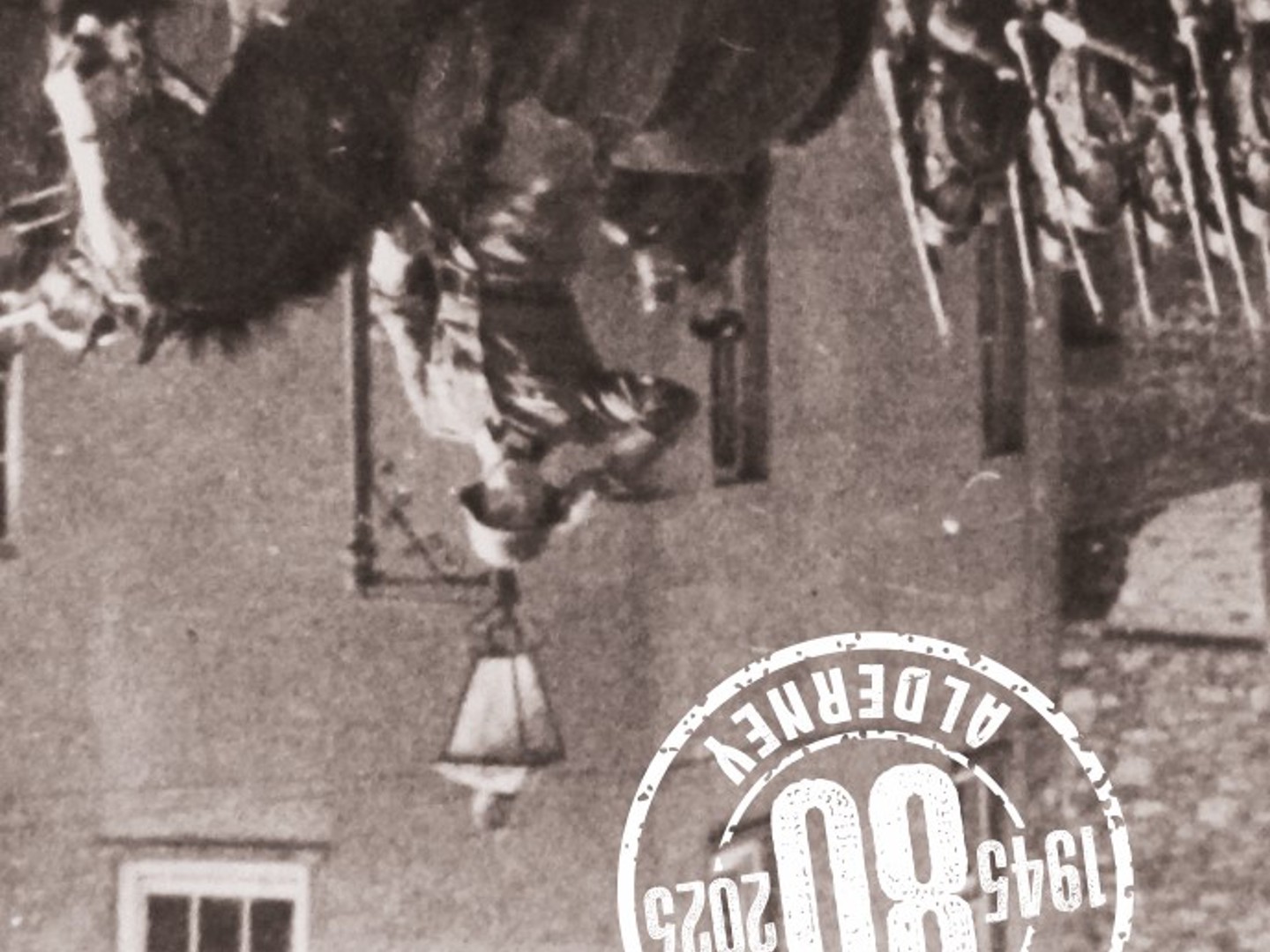
WWII Occupation Trail
Discover the WWII German Occupation. There are 80 points of interest, commemorating the 80th anniversary of the end of WWII.
DownloadA Taste of Alderney
Discover Alderney through its flavours and food stories, and explore how the island’s unique landscape has shaped what people grow, gather, cook, and eat. Rooted in a long tradition of island hospitality, Alderney’s food culture reflects a close connection to land, sea, and community, developed long before supermarkets and online shopping existed. This trail journeys from farm fields and wild hedgerows to seaweed-rich shores and distinctive local produce, revealing how generations of islanders have used — and continue to use — the island’s natural resources to feed themselves and others. The Food Trail brings together the people and places behind this produce, encouraging visitors to eat locally and enjoy an authentic taste of the island.